Photo Geocoder Application
AI & Machine Learning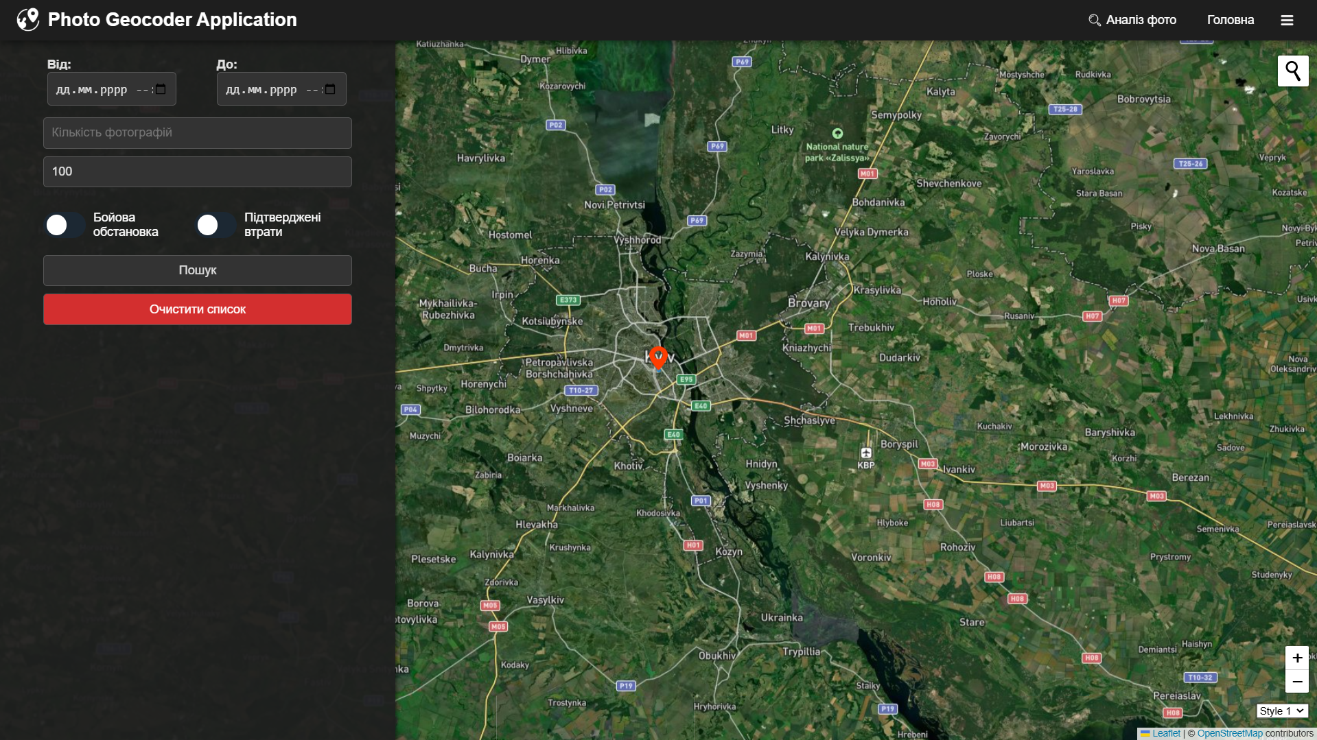
The project is dedicated to creating an ETL system for military analysis of geolocated photographs: photos are collected via VK API, processed in a Flask service using a YOLO model to detect military equipment or people, after which data about the type of losses, their coordinates, and time are stored in PostgreSQL. The results are visualized on an interactive map in a React application, supplemented with analytical charts, allowing for quick assessment of the scale and dynamics of enemy losses.