GeoInformation System “Ecologis”
Software & Server Configuration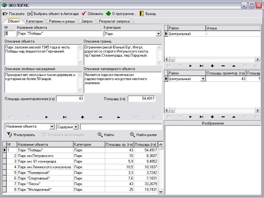
The Geoinformation Search System is designed for the Ecology Department of the Nikolaevsky Municipality and is intended for internal use (not for dissemination to other organizations and individuals).This system carries out analysis of the map data, search and display of the objects of green plantations on the map of the city of Nikolaev.The Ecologis System is a geoinformation search system across the city of Nikolaev.The system includes an electronic card.Nikolaev and information about the objects.Nikolaev’s electronic card is made in the scale of 1:10000.The main possibilities of the system:
a) display of the arbitrarily selected fragment of the city map on the display
b) the location of the objects on the map by their name.(c) obtaining information about objects and displaying them on the map
d) Search and filtration of data on objects by their name
(e) request for sample of objects according to different criteria
e) the output on the printing device of the request for a sample grouped by areas.The system provides work in Russian.