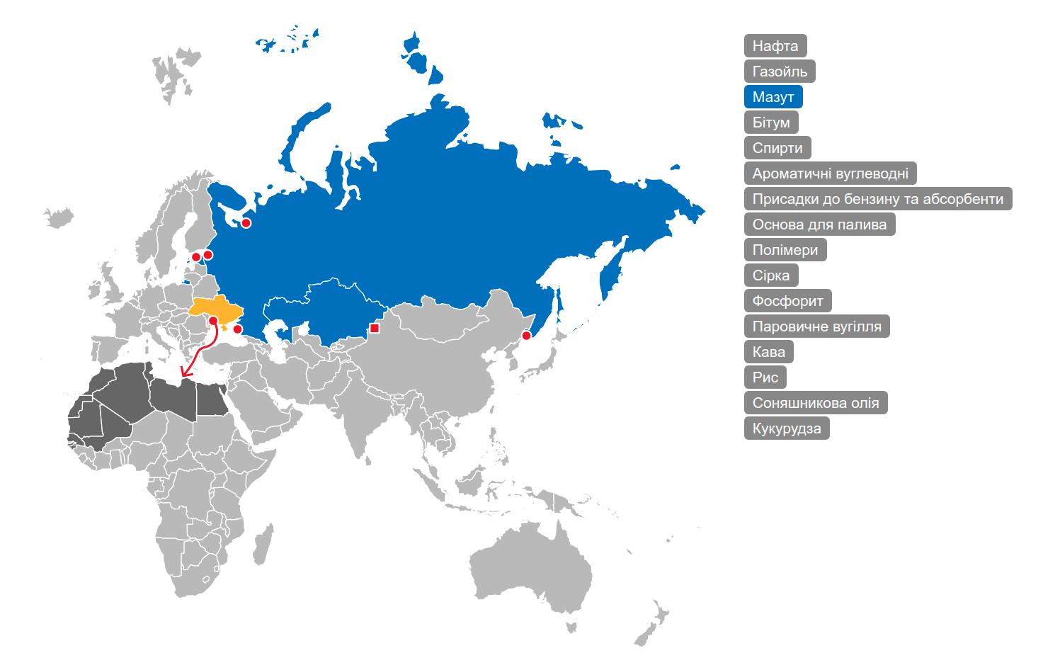
Interactive animated map for the transport company. 2013 year. For the selected category of products are displayed the ports and railway stations through which the export is carried out, or factories operating on the internal markets. When choosing a port or station, the routes and countries of the importers are scattered. Vector graphics is implemented on Raphael.js (now using the modern SVG.js libraries). For editing convenience, all data (contours, locations, names, interconnections) are contained in the SVG image, which, upon request from the browser, is parse, cache and transmitted in the JSON format.
#map #map #animation #graphics #reset #js #javascript #json #ajax #svg #raphaeljs #svgjs #jquery #php #xml #html #css
#map #map #animation #graphics #reset #js #javascript #json #ajax #svg #raphaeljs #svgjs #jquery #php #xml #html #css