Project: Interactive branch map with Google Maps API
Task: Create an interactive map displaying branches.
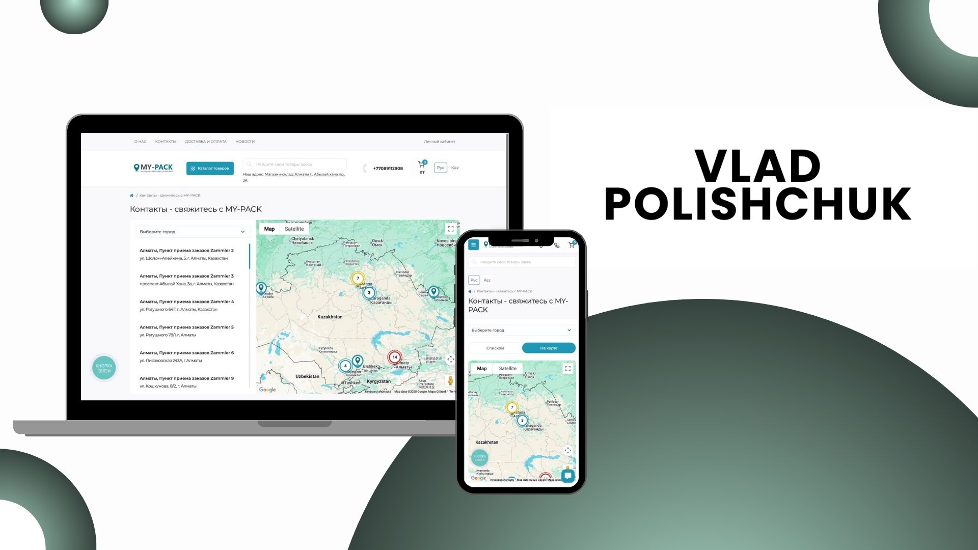
• When clicking on a branch, an information popup with details should open.
• When zooming out the map, branches should automatically group by districts and cities (clustering).
• Use ready-made Google Maps API keys to implement the functionality.
What has been implemented:
• The map has been fully integrated into the website with support for clustering and dynamic popups.
• The client received a convenient tool for visualizing branches that is easy to scale and customize for different regions.
• Performance has been optimized for a large number of markers on the map.
Technologies:
• Google Maps API (clustering, custom markers, information popups)
• JavaScript
Result: An interactive map that allows users to easily find branches, and administrators to effectively manage their display.
Task: Create an interactive map displaying branches.
• When clicking on a branch, an information popup with details should open.
• When zooming out the map, branches should automatically group by districts and cities (clustering).
• Use ready-made Google Maps API keys to implement the functionality.
What has been implemented:
• The map has been fully integrated into the website with support for clustering and dynamic popups.
• The client received a convenient tool for visualizing branches that is easy to scale and customize for different regions.
• Performance has been optimized for a large number of markers on the map.
Technologies:
• Google Maps API (clustering, custom markers, information popups)
• JavaScript
Result: An interactive map that allows users to easily find branches, and administrators to effectively manage their display.