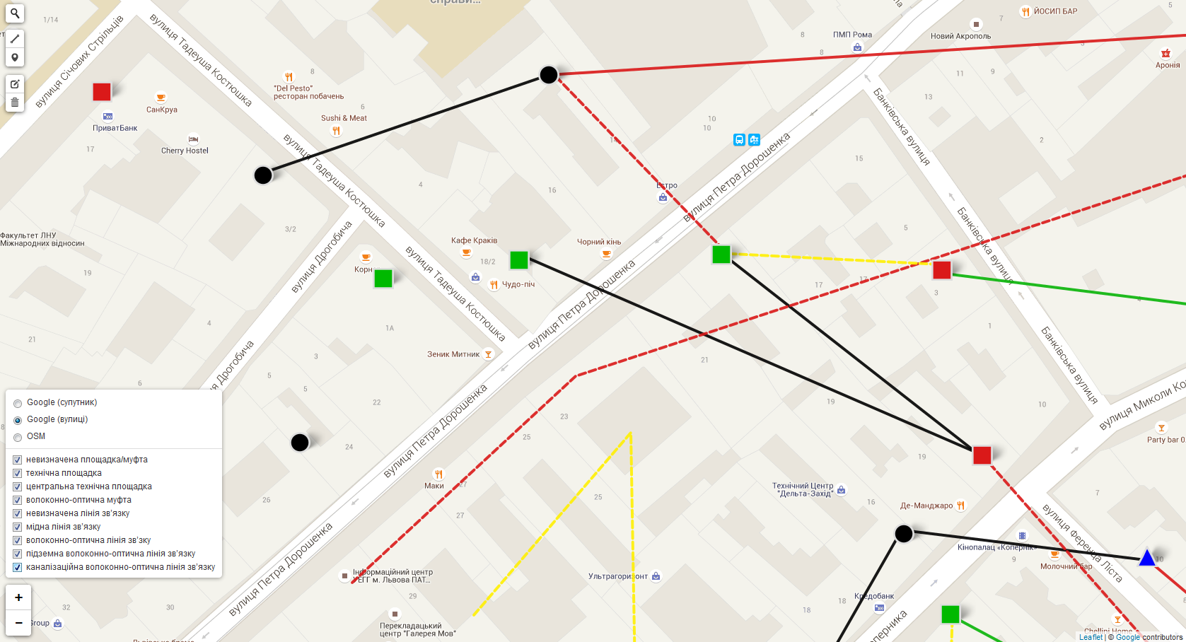
Interactive map based on Leaflet with drawing tools. The interaction with the server implemented by ajax.
The Capacities:
- getting/sending geojson data from server
Adding, Editing and Deleting Objects
- edit object property features
Show/hide layers
Switch between map views (Google satellite, Google streets, OpenStreetMap)
Search on the map
The Capacities:
- getting/sending geojson data from server
Adding, Editing and Deleting Objects
- edit object property features
Show/hide layers
Switch between map views (Google satellite, Google streets, OpenStreetMap)
Search on the map