Map of the settlement
Vector Graphics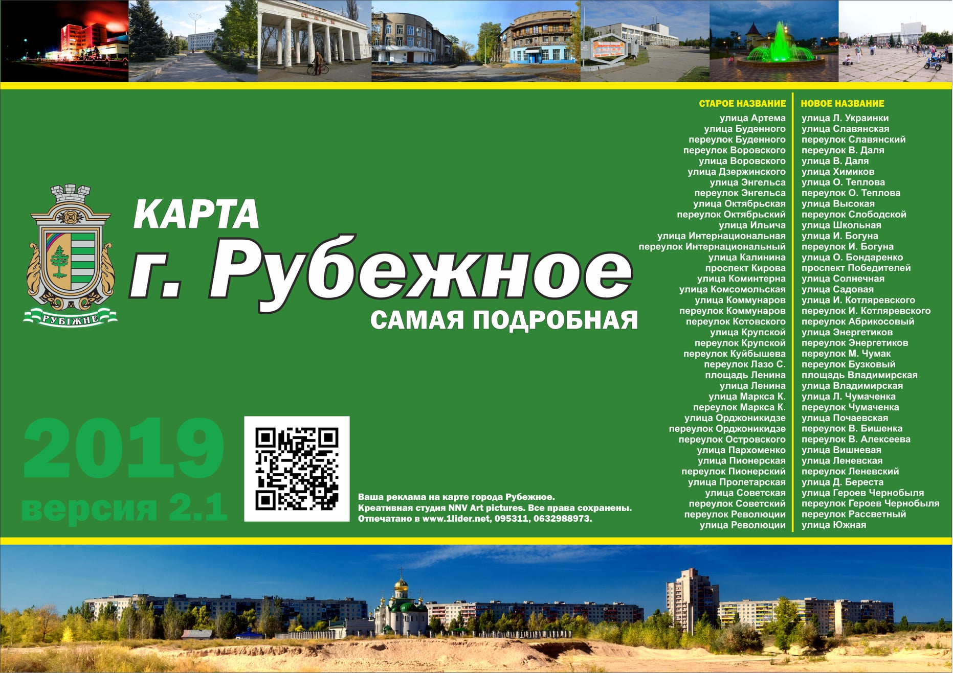
Vector map of the settlement
Development of a detailed map of the settlement in vector format. The map is created with high accuracy and a convenient layer structure, allowing for easy editing and adaptation for various tasks.
- Fully vector graphics (no loss of quality when scaling)
- Accurate layer hierarchy (roads, buildings, water bodies, green areas, labels, etc.)
- Neat typography and readability at different scales
- Preparation for print and digital use
- Ability to make edits and adapt to corporate style
The map can be used for:
printed materials
navigation schemes
presentations
websites and mobile applications
tourist materials
If necessary, it is possible to add house numbering, highlight individual objects, branding, and prepare files in the required format (AI, CDR, SVG, PDF, etc.).