Relief organization plan
Landscape Projects & Design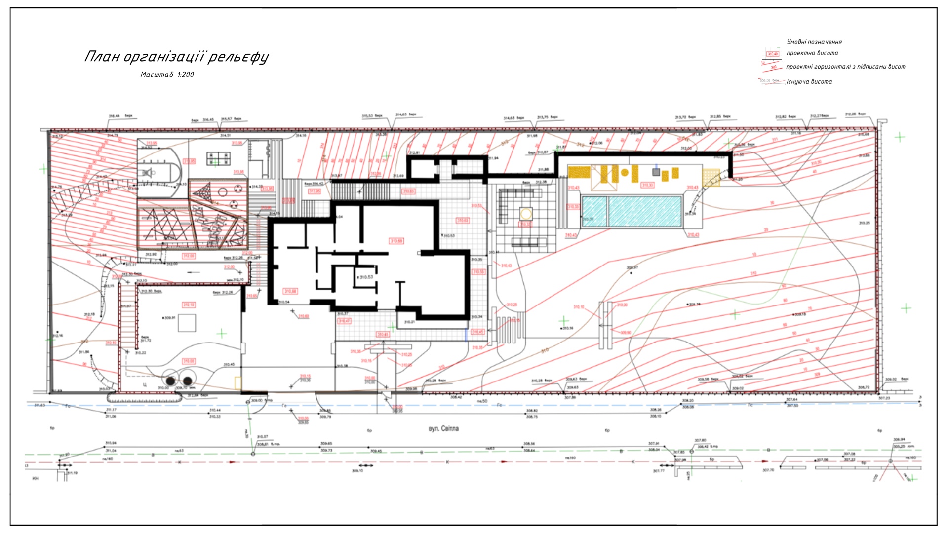
The development of a terrain organization plan is an important stage in landscape design that allows for the consideration of all terrain features and the proper integration of architectural and natural elements into it.
For a quality development of the plan, the following initial data is required:
- Topographic and geodetic survey of the site (scale of 1:500 is recommended)
- Site plan indicating the location of all landscape design elements (small architectural forms, plantings, paths, water bodies, etc.)
This data allows for the creation of an accurate and functional terrain organization plan, which will serve as a reliable foundation for the further implementation of the project.