Transportation availability
Software & Server Configuration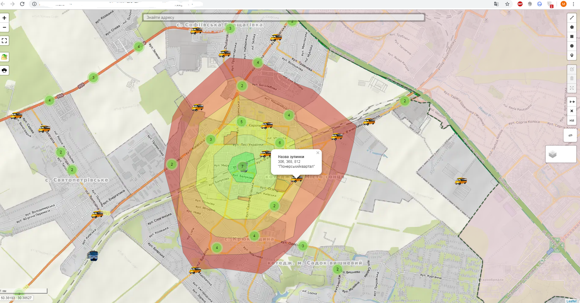
The data on pedestrian accessibility in the suburbs are processed, as well as the main bus and rail stops are allocated. The Leaflet JavaScript library inserts the data on the web map and is supplemented with tools to work with it (measurement of distances, spaces, display of coordinates, etc.). Other data that can be distributed and were available in free access (Night Cosmos, archive air cosmos images)
#Map #Map #Leaflet #JavaScript
#Map #Map #Leaflet #JavaScript