Top 15 Incredible Findings on Google Maps
Articles & Blog Posts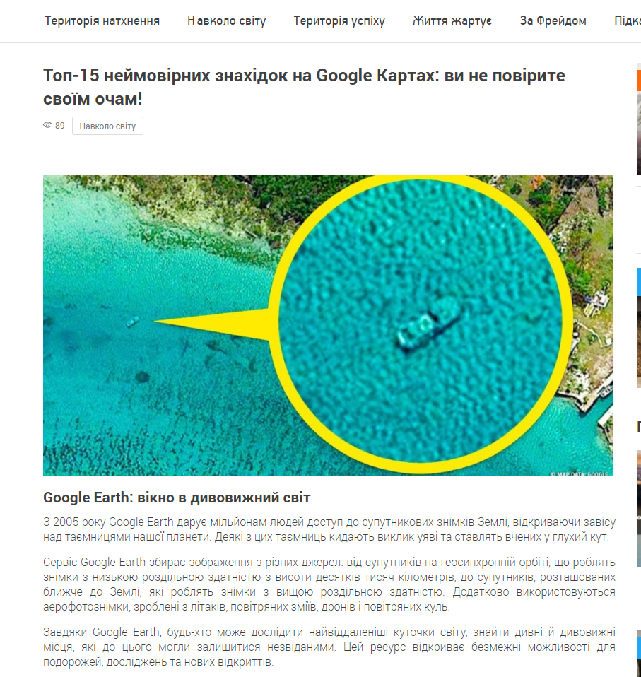
Since 2005, Google Earth has given millions of people access to satellite images of Earth, uncovering the secrets of our planet. Some of these secrets throw out imagination and put scientists in a blind corner.
Google Earth collects images from a variety of sources: from satellites on a geosynchronous orbit that make low-division images from a height of tens of thousands of kilometers, to satellites located closer to Earth that make high-division images. Furthermore, aerophotographs made from aircraft, air bears, drones and air balls are used.
With Google Earth, anyone can explore the distant corners of the world, find strange and amazing places that could remain unknown before. This resource opens unlimited opportunities for travel, research and new discoveries.