3D LASER SCANNING FOR CULTURAL HERITAGE
In the last years, thanks to the advances of surveying sensors and
techniques, many heritage sites could be accurately replicated in digital form
with very detailed and impressive results. The actual limits are mainly related
to hardware capabilities, computation time and low performance of personal
computer. Often, the produced models are not visible on a normal computer
and the only solution to easily visualize them is offline using rendered videos.
This kind of 3D representations is useful for digital conservation, divulgation
purposes or virtual tourism where people can visit places otherwise closed for
preservation or security reasons. But many more potentialities and possible
applications are available using a 3D model.
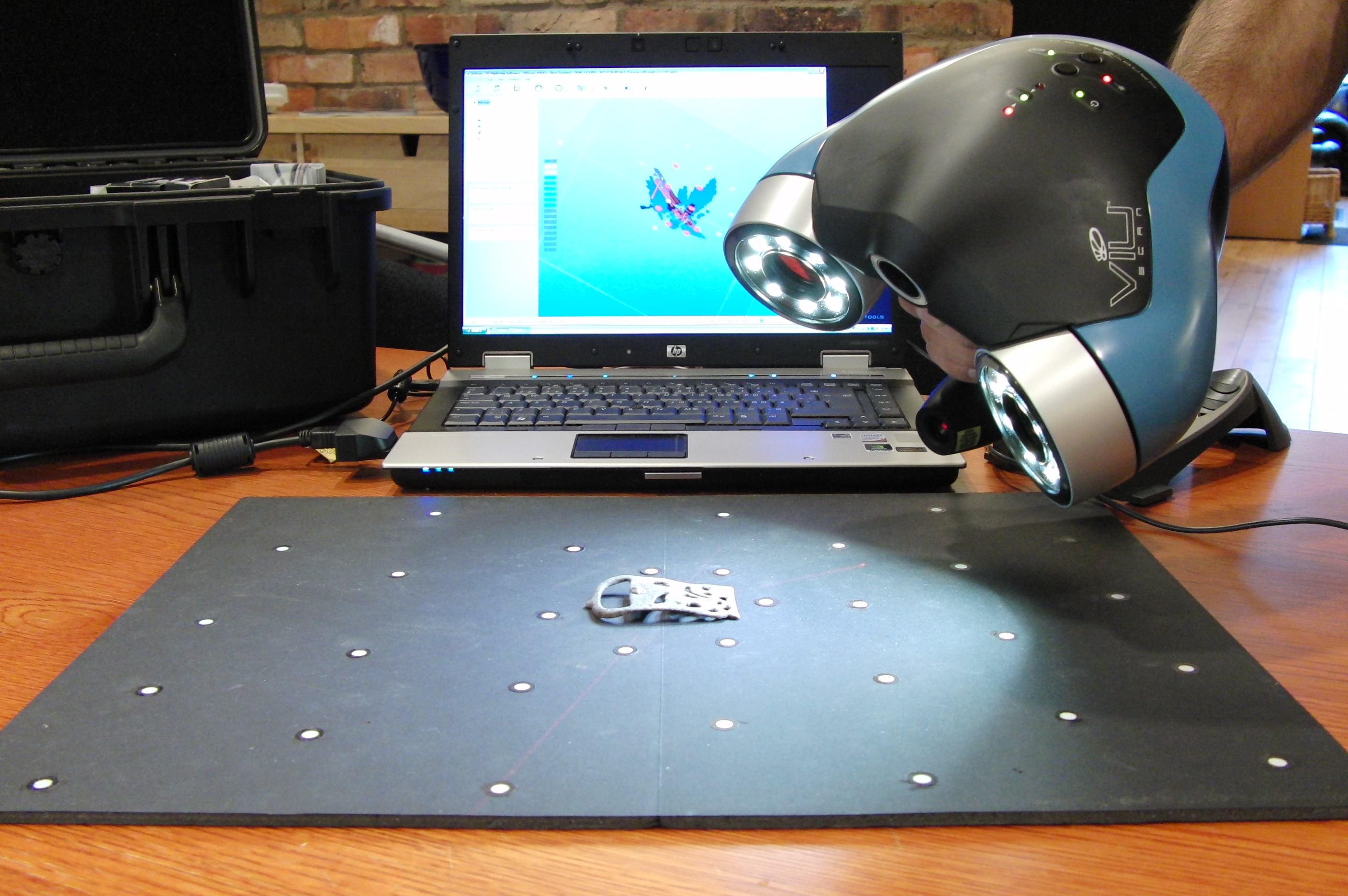
Nowadays there is a large number of geomatics data acquisition tools for
mapping purposes and for visual Cultural Heritage digital recording. These
include satellite imagery, digital aerial cameras, radar platforms, airborne
and terrestrial laser scanners, UAVs, panoramic linear sensors, SRL or
consumer-grade terrestrial digital cameras and GNSS/INS systems for precise
positioning. Beside data acquisition systems, today new software has been
developed and many automated data processing procedures are available.
The choice or integration depends on the required accuracy, object
dimensions, location constraints, instrument’s portability and usability, surface
characteristics, project’s budget and final goal of the 3D survey.
In the last years, thanks to the advances of surveying sensors and
techniques, many heritage sites could be accurately replicated in digital form
with very detailed and impressive results. The actual limits are mainly related
to hardware capabilities, computation time and low performance of personal
computer. Often, the produced models are not visible on a normal computer
and the only solution to easily visualize them is offline using rendered videos.
This kind of 3D representations is useful for digital conservation, divulgation
purposes or virtual tourism where people can visit places otherwise closed for
preservation or security reasons. But many more potentialities and possible
applications are available using a 3D model.
Nowadays there is a large number of geomatics data acquisition tools for
mapping purposes and for visual Cultural Heritage digital recording. These
include satellite imagery, digital aerial cameras, radar platforms, airborne
and terrestrial laser scanners, UAVs, panoramic linear sensors, SRL or
consumer-grade terrestrial digital cameras and GNSS/INS systems for precise
positioning. Beside data acquisition systems, today new software has been
developed and many automated data processing procedures are available.
The choice or integration depends on the required accuracy, object
dimensions, location constraints, instrument’s portability and usability, surface
characteristics, project’s budget and final goal of the 3D survey.